Drone Site Survey
Capture a clear aerial view of your project location, surroundings, access roads, site boundaries, terrain, and construction context.
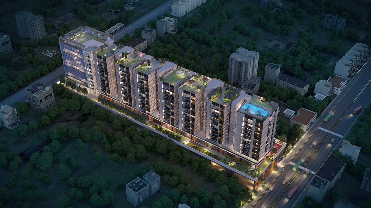
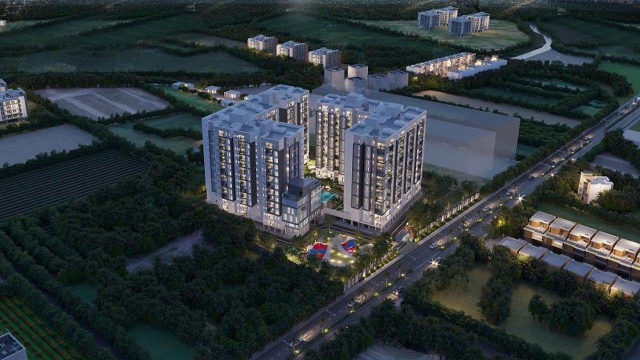
Drone 3D mapping combines aerial site capture with 3D modeling to create an accurate and detailed visual representation of a project and its surroundings.
Our drone 3D mapping services help architects, builders, developers, and real estate teams understand site context, land, access, surrounding development, scale, and proposed architecture in one visual experience.
We combine drone photography, aerial video, mapping data, and photorealistic 3D visualization to create clear project visuals for planning, approvals, investor presentations, marketing campaigns, construction progress, and real estate promotions.
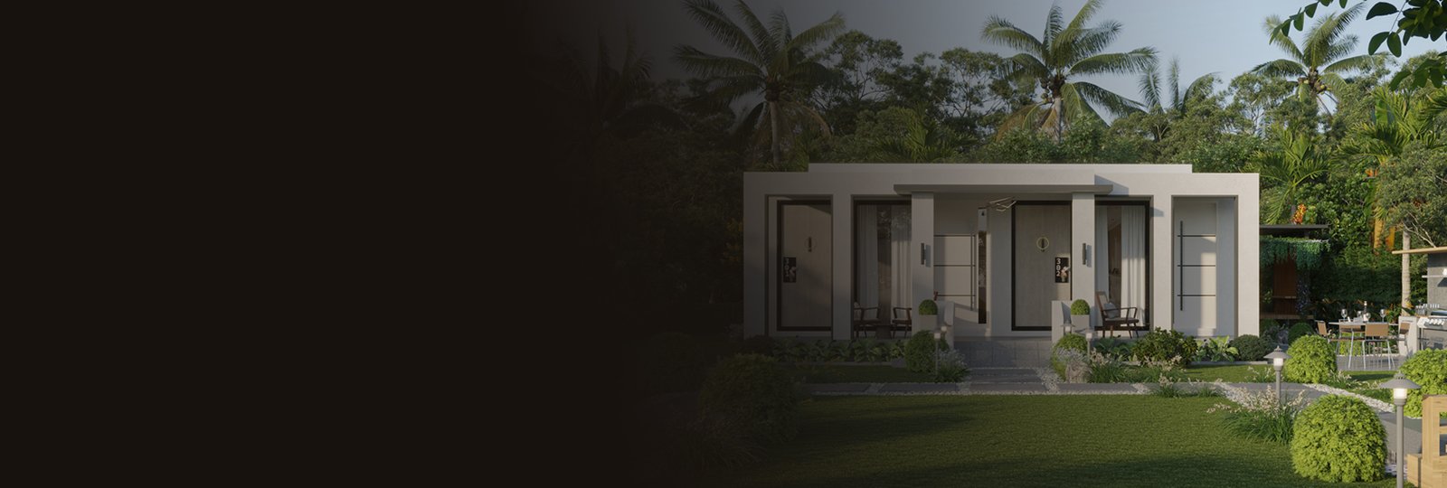
Projects that need accurate site context, scale, clarity, and visual confidence.
Clients
Architects · Builders · Developers · Real estate teams
Formats
4K video · Stills · CGI film · Presentation cuts
Scope
Single sites · Villas · Towers · Townships · Campuses
From aerial site capture and drone 3D mapping to final CGI films and marketing visuals, our services are designed to make projects easier to understand, present, approve, promote, and sell.
Capture a clear aerial view of your project location, surroundings, access roads, site boundaries, terrain, and construction context.
High-quality aerial photography and cinematic drone videos for project launches, sales presentations, corporate decks, marketing campaigns, and development updates.
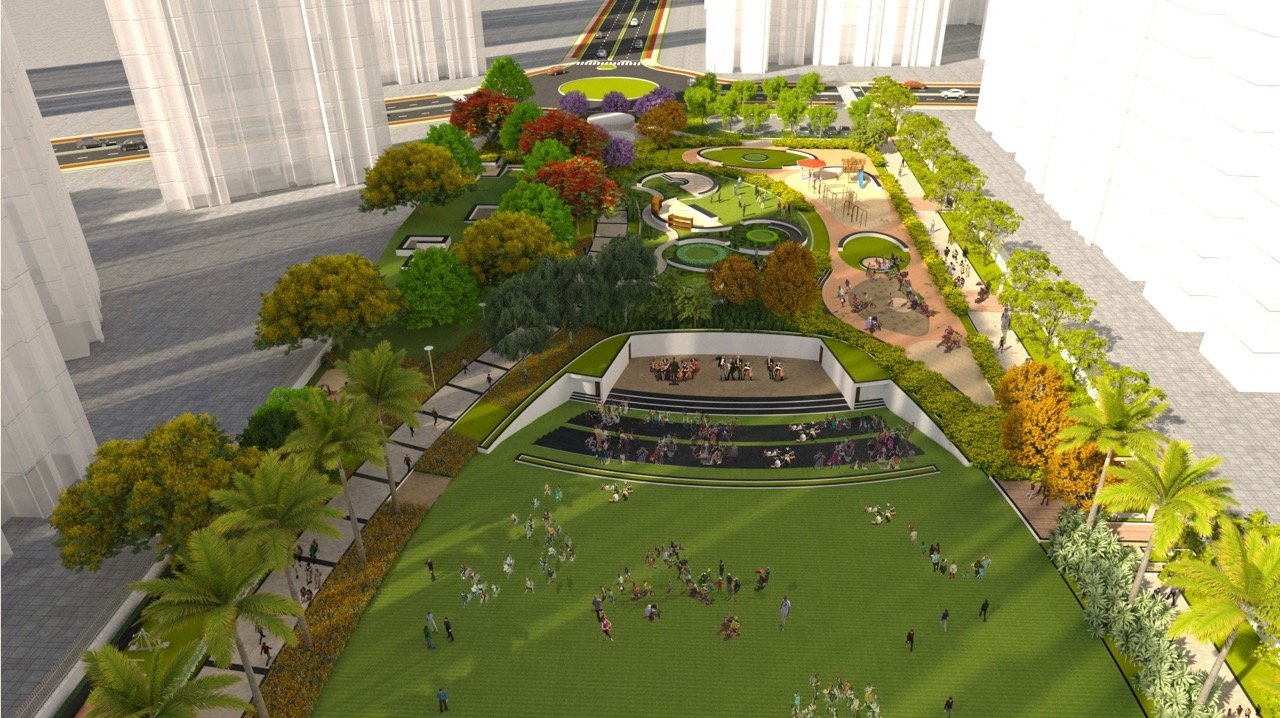
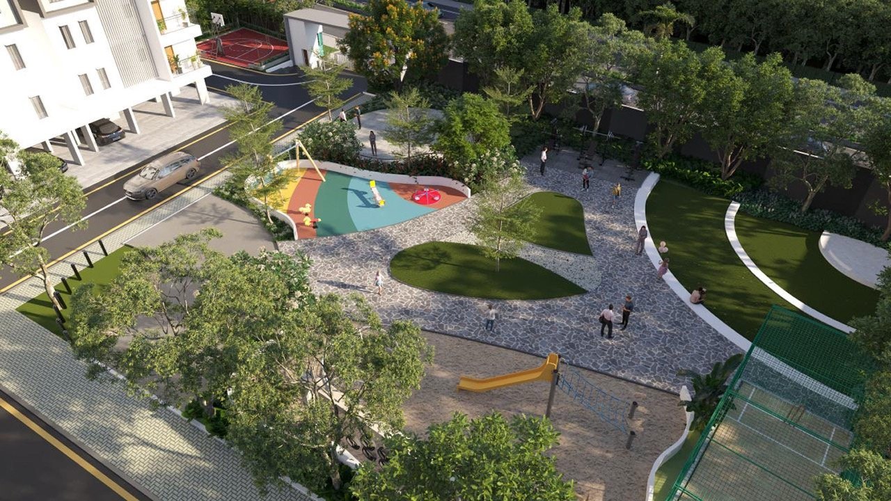
Photorealistic 3D visuals that showcase building form, facades, materials, landscaping, amenities, and the proposed final development.
Immersive walkthroughs and fly-through animations that take viewers from the surrounding site and arrival experience through the proposed development.
Combine real aerial footage with accurate 3D models to show proposed buildings, landscapes, amenities, infrastructure, and masterplan developments within their real surroundings.
Scheduled drone documentation to track construction progress and provide clear visual updates for project teams, investors, stakeholders, and marketing.
Campaign-ready videos combining drone footage, 3D visualization, branding, location context, titles, music, and professional editing.
Aerial and 3D visualization for plotted developments, townships, campuses, resorts, infrastructure, and large-scale masterplans.
We combine real site information with proposed 3D visualization to create a clear visual journey from the existing location to the completed project.
We begin with planned drone photography, videography, and site capture to document the actual land, access, surroundings, and project context.
We develop accurate 3D models and visualizations based on the architectural design, masterplan, landscape, and project requirements.
We integrate real aerial footage with photorealistic 3D models to show the existing site alongside the proposed development.
Drone 3D mapping and visualization give decision-makers a clear view of both the existing site and proposed development. It is especially useful when drawings, still renders, or site photographs alone cannot communicate the full scale and context of a project.
Final output
Each deliverable is planned around your project stage - from concept approval and pre-launch marketing to sales, investor communication, and construction progress reporting.
Let's combine drone 3D mapping, aerial footage, and photorealistic visualization to create a clear and compelling representation of your project.